PR-SMART - Puerto Rico Soil Moisture Advance Radiometric Test-Bed
Home
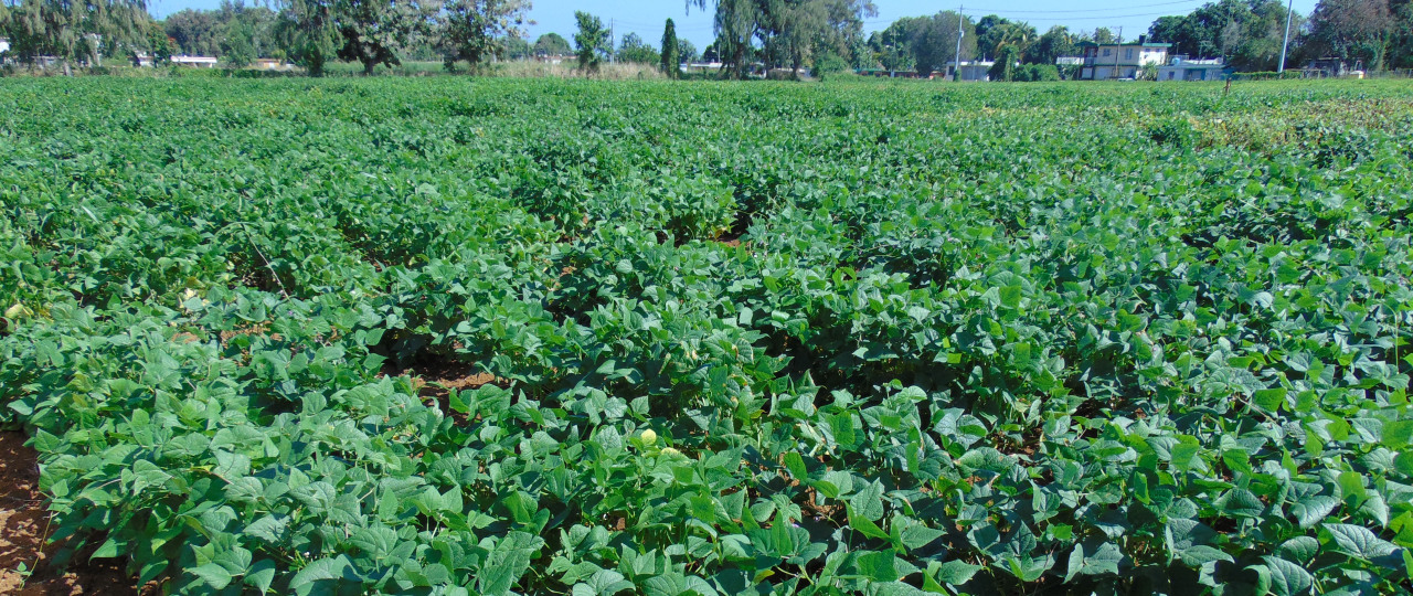
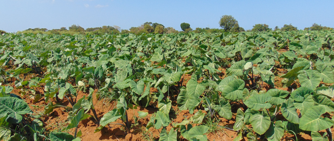
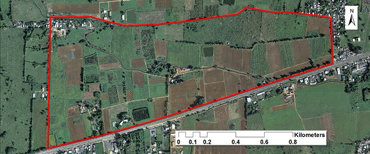
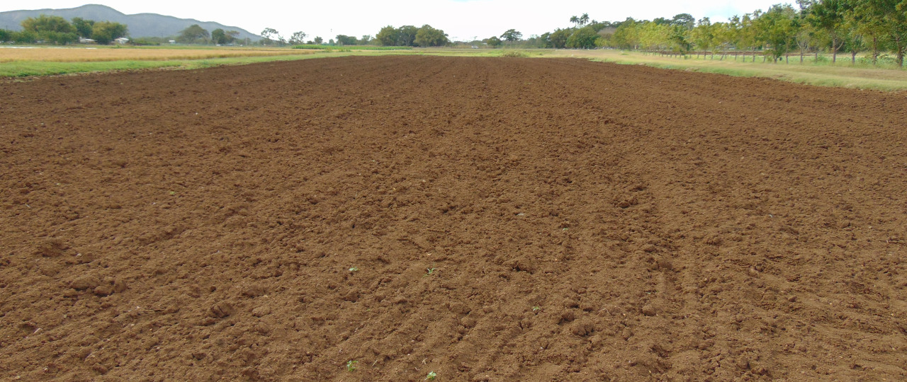
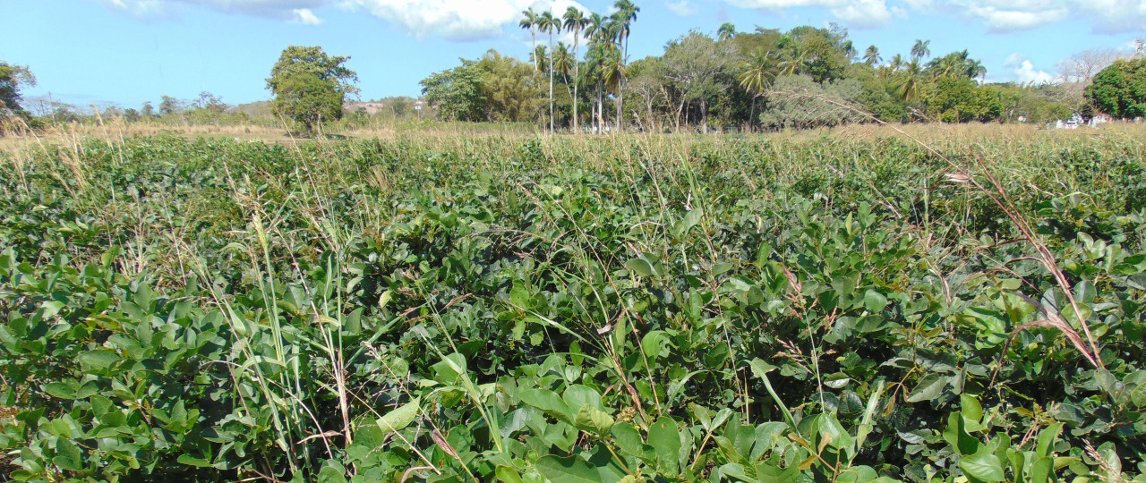
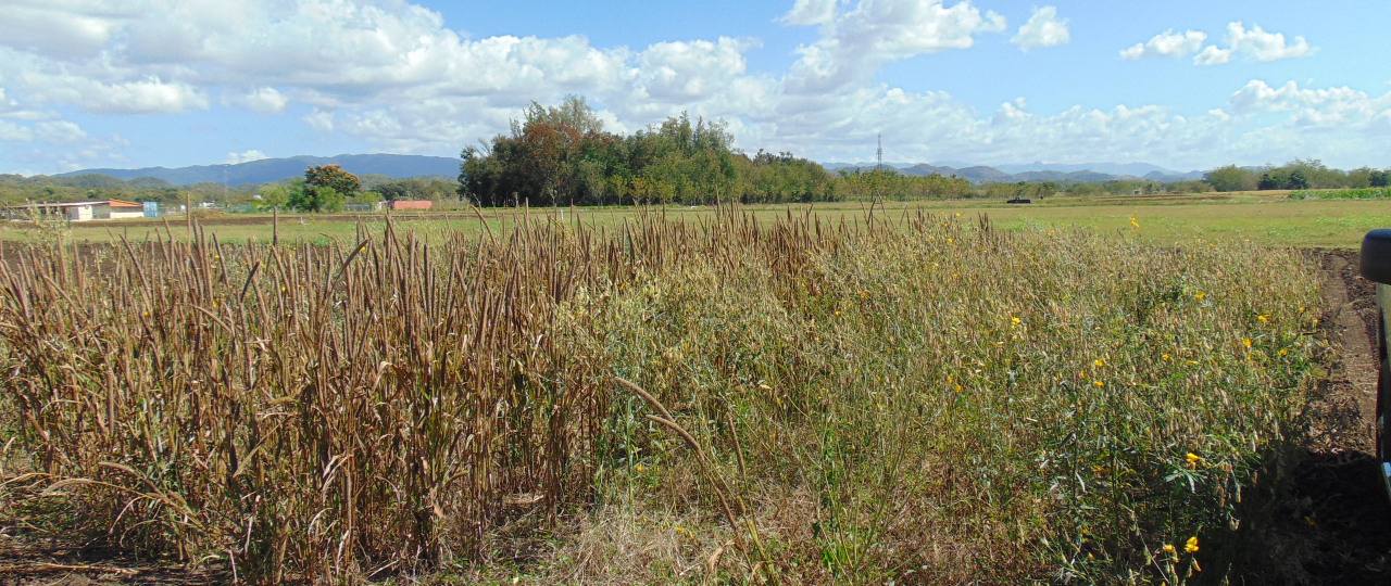
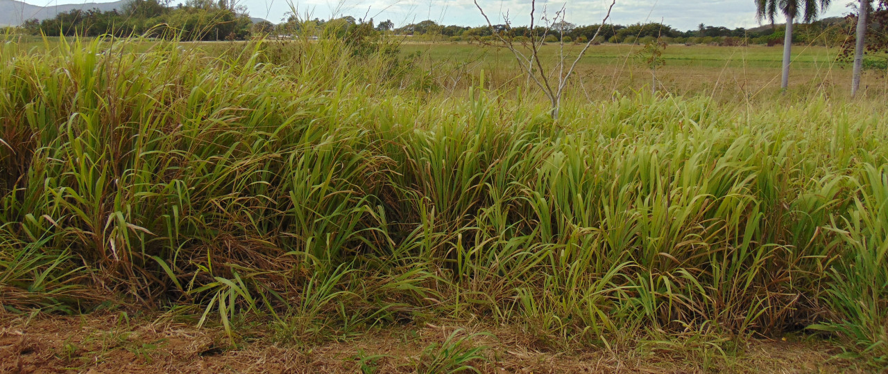
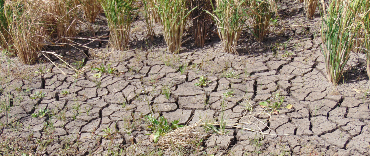
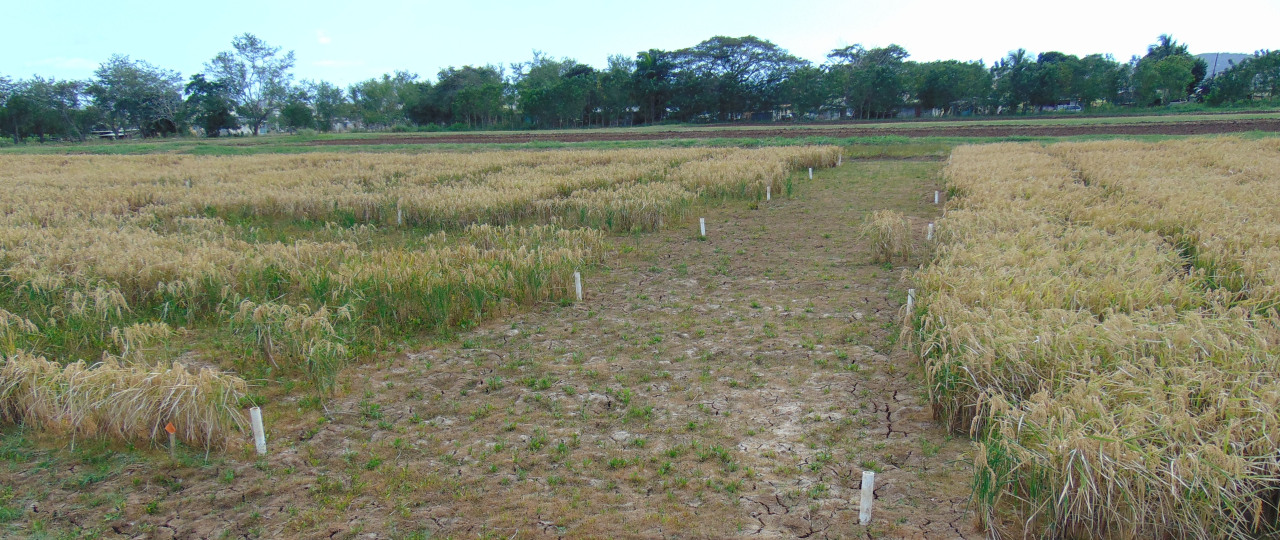
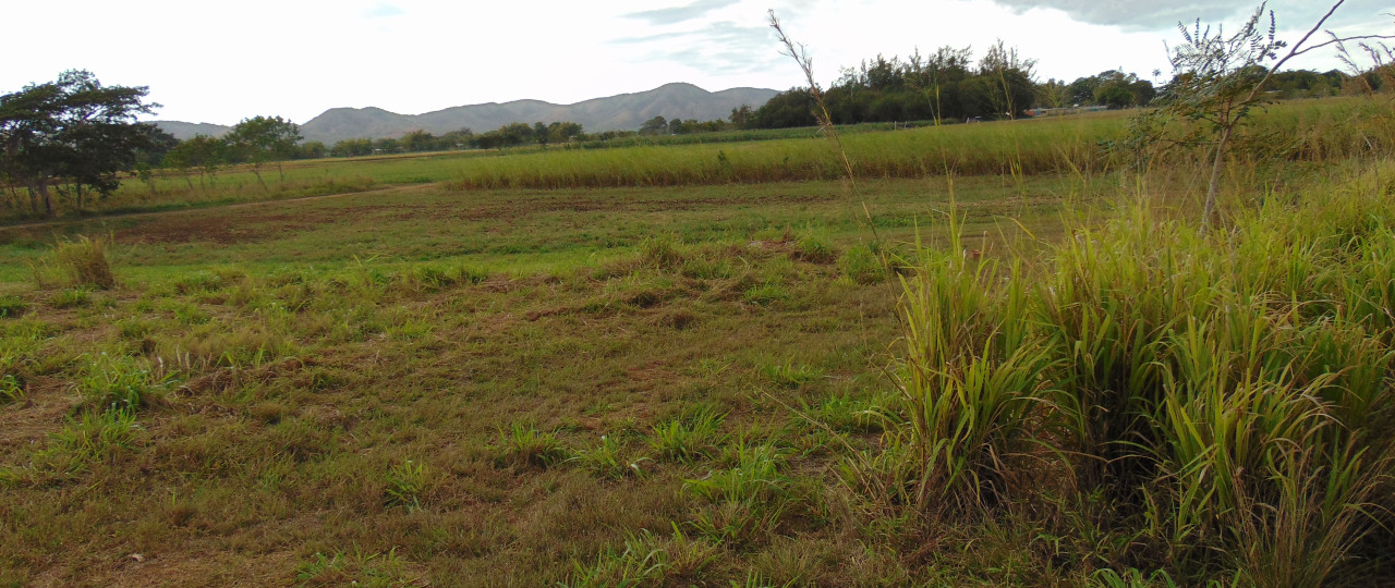
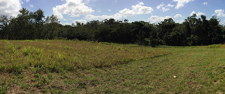
Mapping field-scale soil moisture using ground-based L-band passive microwave observations in Western Puerto RicoAboutThe ProjectGround-based L-band passive microwave observations are needed to validate the accuracy in the measurements made by satellite-based radiometers such as the NASA’s Soil Moisture Active Passive (SMAP) mission. Field observations were made at three Agricultural Experimental Stations (Isabela, Lajas, and Mayagüez) in Western Puerto Rico using an L-band (1.48GHz) microwave radiometer observation unit. Measurements of brightness temperature, temperature, humidity, and volumetric water content of the soil were performed in multiple parts of each field to cover a wide variety of soil conditions, crop types and crop densities. This work presents early results and preliminary soil moisture simulation using the Tau-Omega Radiation transfer model. Future work, includes validation of SMAP and GCOM-W soil moisture products. Scope and ObjectivesThis project will provide new information related to soil and vegetation parameters by performing ground measurements of soil moisture content from L-band passive microwave observations. These parameters influence the readings of the L-Band Microwave Radiometers Satellite and will be useful for the calibration and validation of the data provided by the NASA Soil Moisture Active Passive (SMAP) mission. Also, more accurate readings of soil moisture content in the western area of Puerto Rico are to be provided. These results will help the characterization and modeling of spatial characteristics of soil moisture over Puerto Rico soils, which are highly representative of the soils in the tropics. The SitesIsabela Agricultural Experiment Station is located in the north-western region of Puerto Rico (18°27'46"N 67°02'05"W) The total area is about 296 acre (1.12 sqr km) The annual average precipitation is around 65.0 inches (165.1 cm) The average temperature ranges from 88°F to 66°F (31.1°C to 18.9°C) Predominant soils: Coto (Cu) and Cotito (Ct) Lajas Agricultural Experiment Station is located in the south-western region of Puerto Rico (18°01'55"N 67°04'23"W) The total area is about 361 acres (1.46 sqr km) The annual average precipitation is around 39.1 inches (99.3 cm) The average temperature ranges from 87°F to 64°F (30.6°C to 17.8°C) Predominant soils: Fraternidad (Fr) and Cartagena (Ce) Mayagüez Agricultural Experiment Station is located in the south-western region of Puerto Rico (18°12'32"N 67°08'17"W) The total area is about 52 acres (0.21 sqr km) The annual average precipitation is around 54.0 inches (137.16 cm) The average temperature ranges from 80°F to 55°F (26°C to 13°C) Predominant soils: Daguey (Da), Consumo (Co) Expected ResultsSignificance of the ResearchThe availability of accurate and representative soil moisture content data can have a significant impact on environmental aspects such as:
|
